

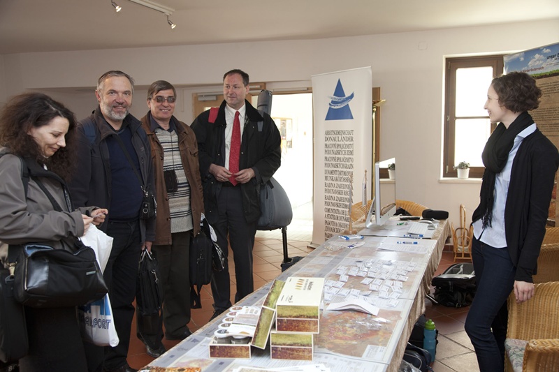
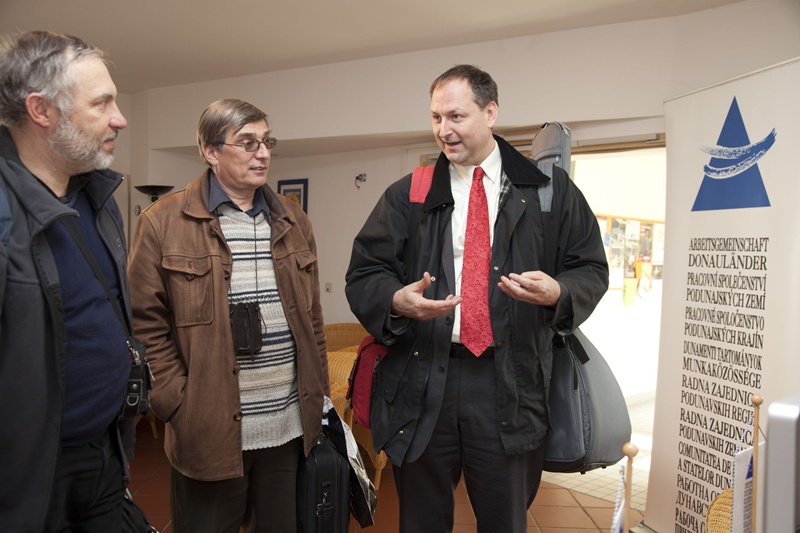
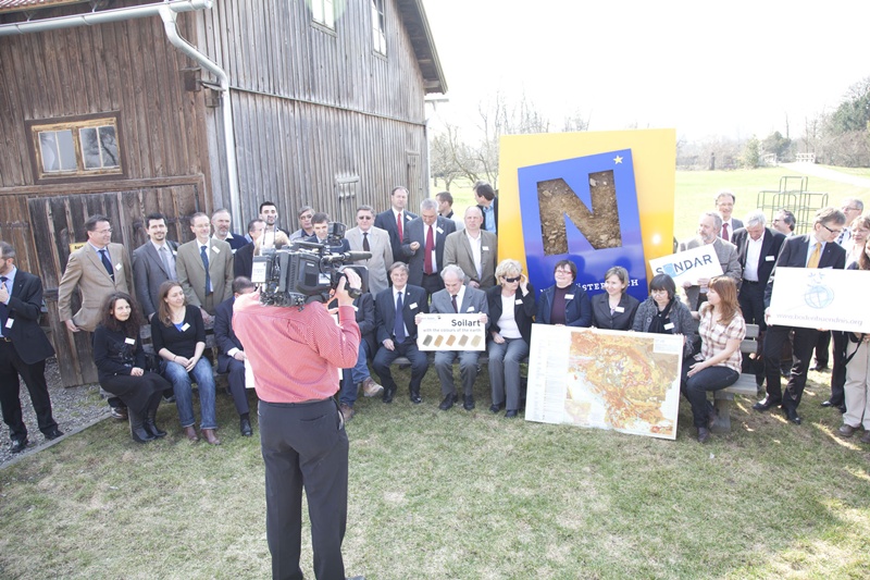
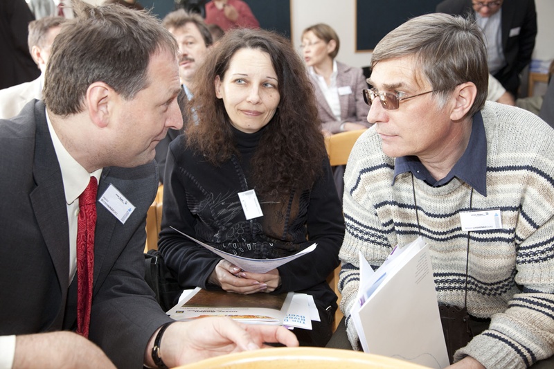
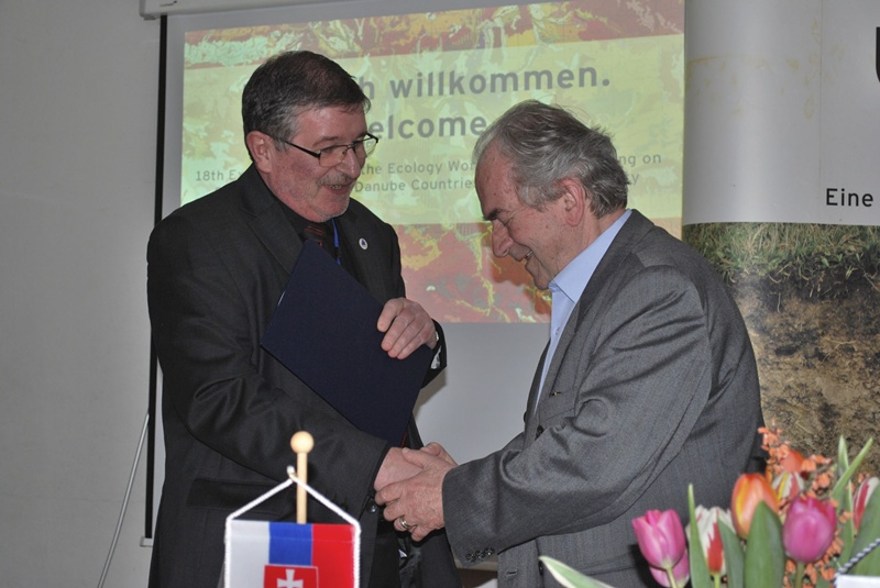
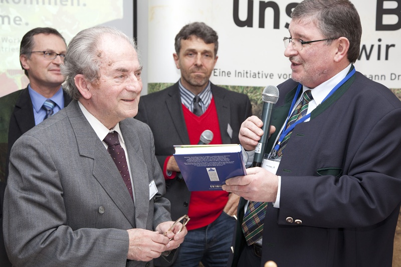
Report: 18th Expert Meeting of the Soil Conservation Working Group of the Danube Countries Working Community - 29.3. u. 30.3.2011

Pernkopf: Cooperation with Danube countries yields strong impulses for preventive soil protection!
St. Poelten (2011-29-03) The Province of Lower Austria has been a member of the European Land and Soil Alliance since 2003, and the campaign "Our soil - we stand upon it!" has become an international best-practice example for citizen-friendly creation of awareness. Starting with Slovakia, the SONDAR Soil Strategy Network in the Danube Region launches an initiative for cooperation in the crucial topics of soil protection in the Danube countries.
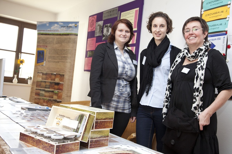
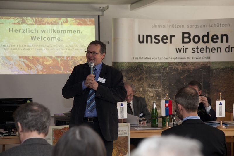
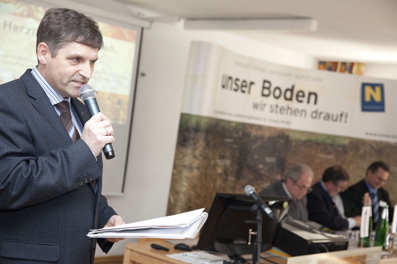
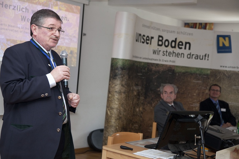
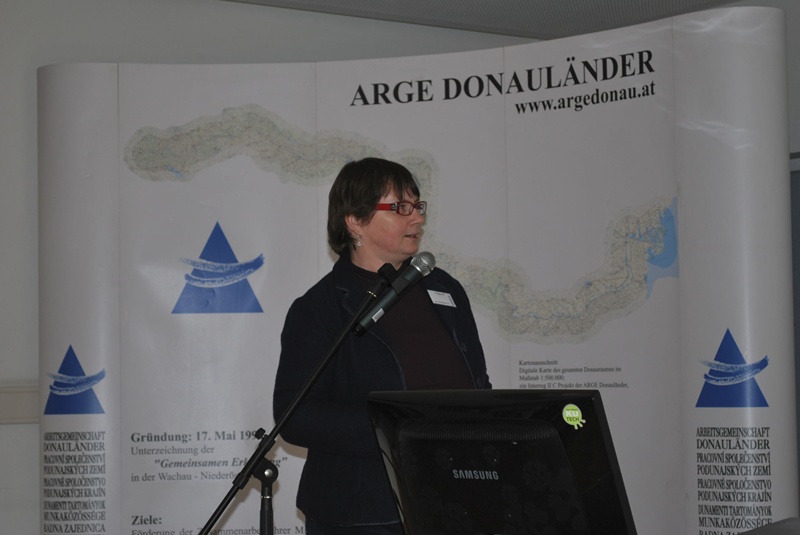
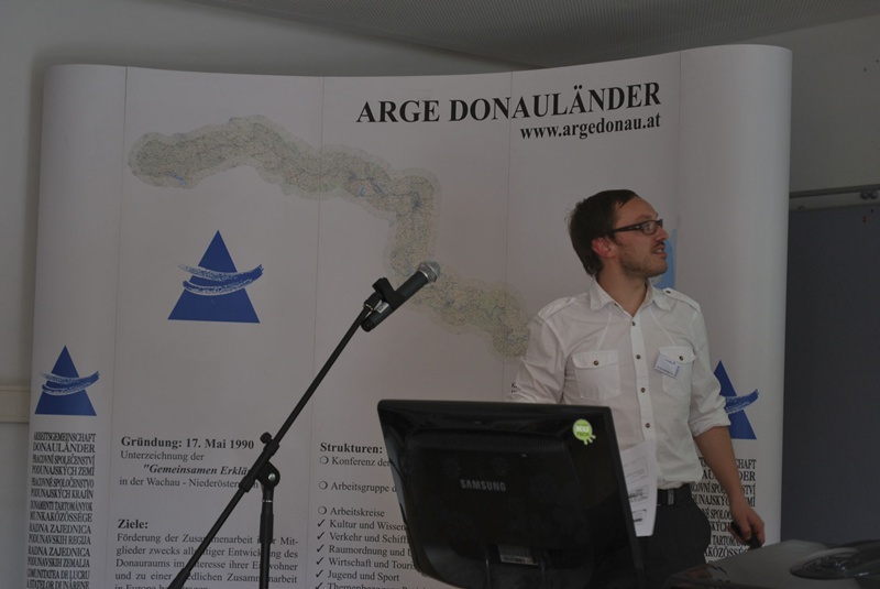
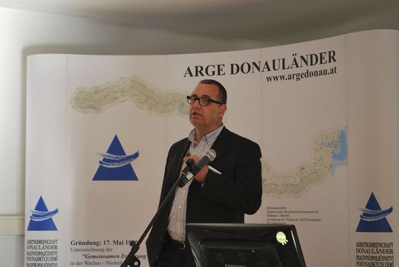
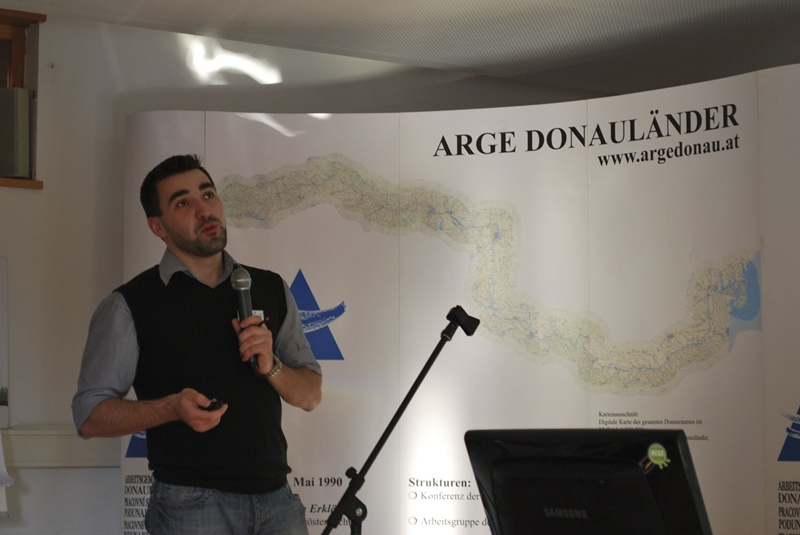
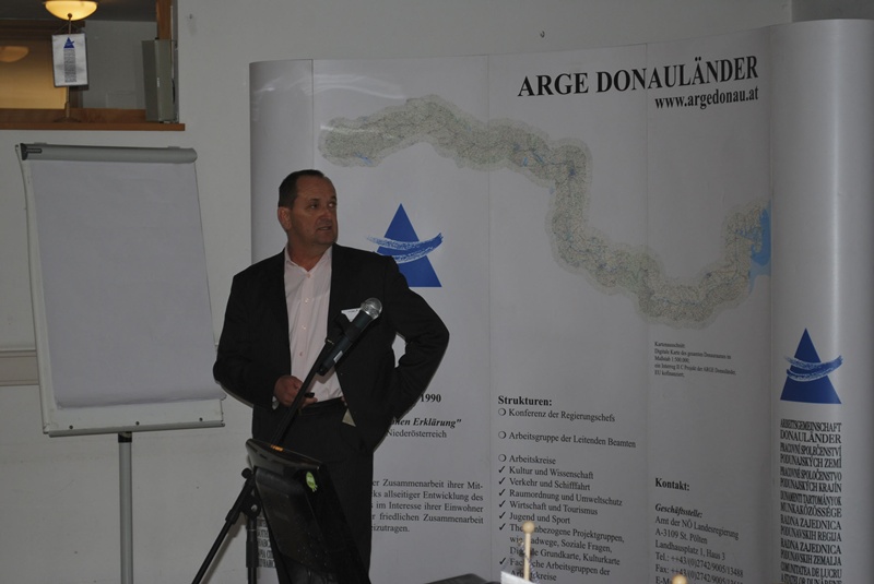
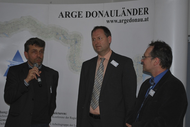
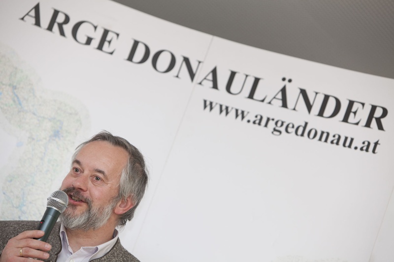
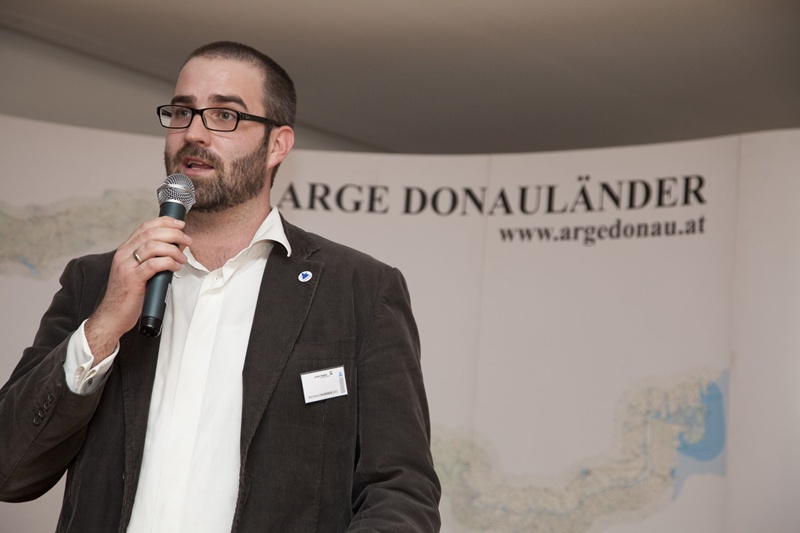
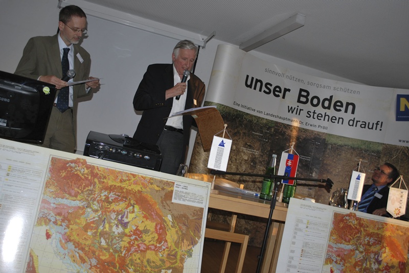
18th Meeting of Danube Countries Working Committe in St. Poelten
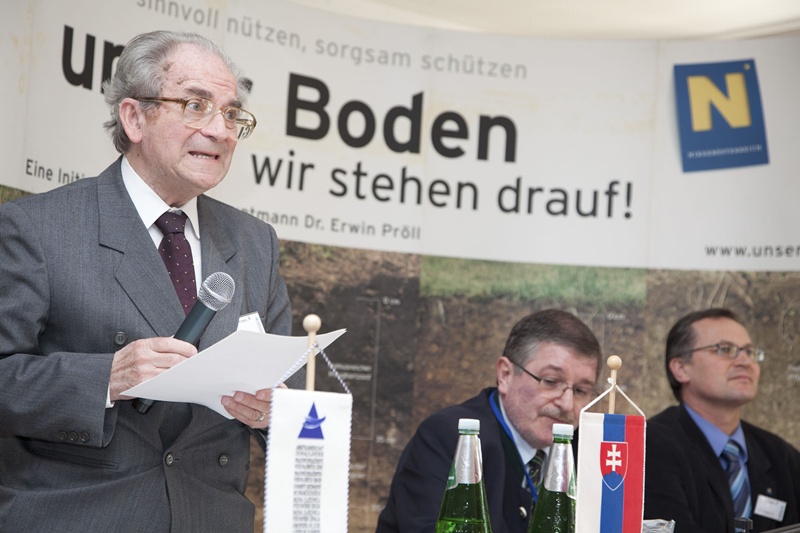
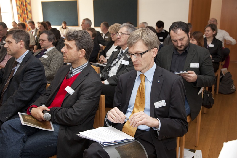
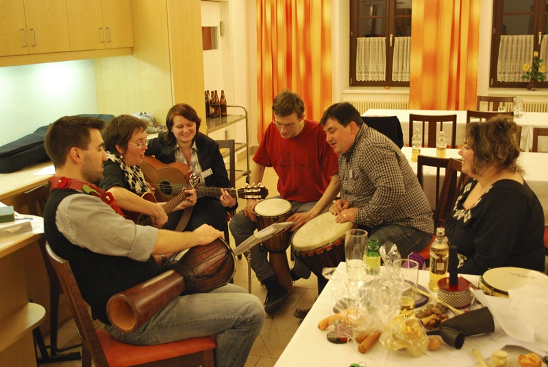
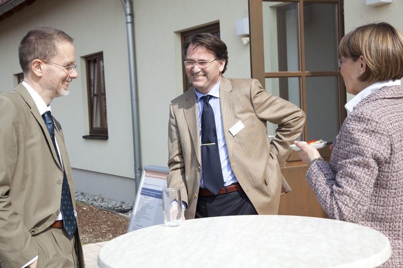
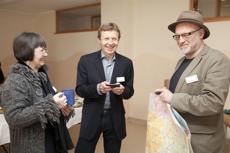
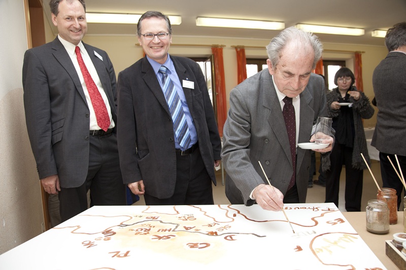
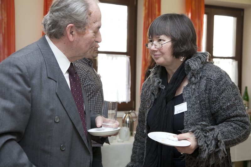
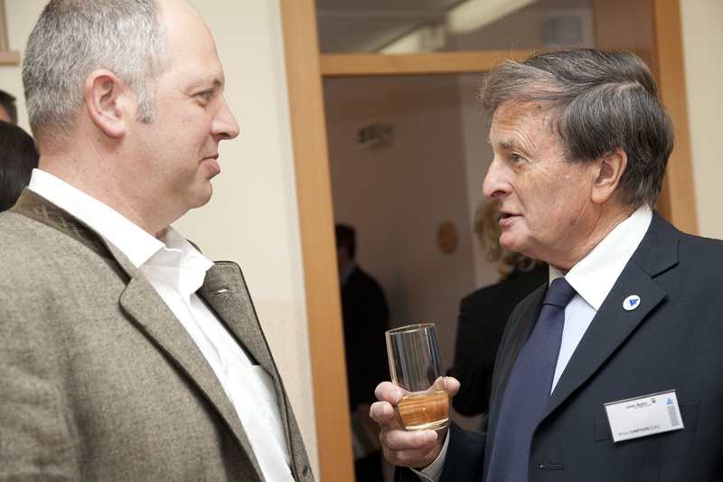
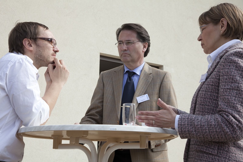
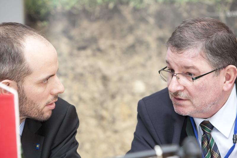
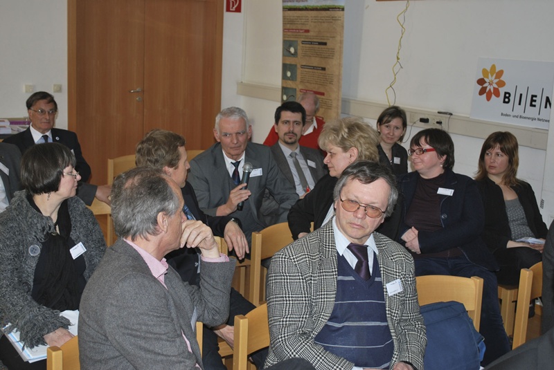
At this years' expert meeting of the Ecology Work Group, about 60 experts, with Michal Dzatko (Slovakia) presiding, will engage in current questions of preventive soil protection in the Danube region on March 29 and 30.

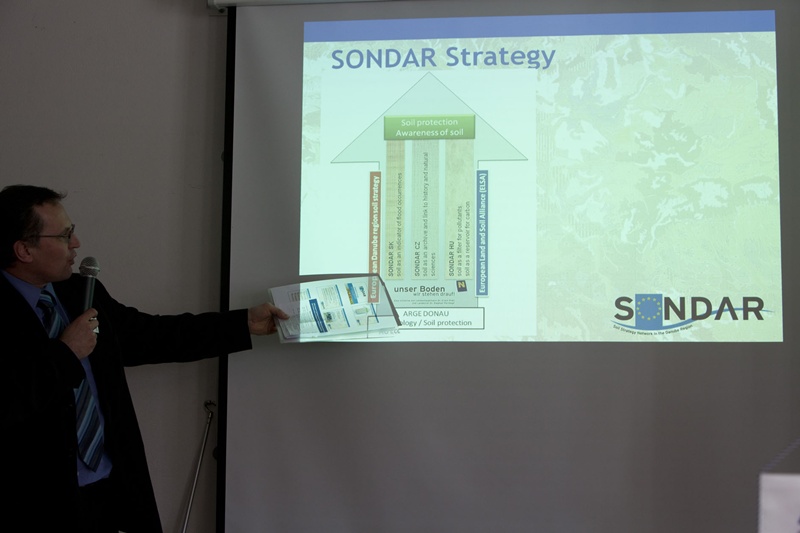
SONDAR - Soil Strategy Network in the Danube Region
Soil is the starting point for all life on earth, and it provides for more than 90 % of our food. It is threatened in many ways: Excessive construction and exploitation in favorable conditions, neglect and abandonment in unfavorable conditions. A general awareness of the population seems to get lost and does no longer correspond to reality, respectively.Soils are living systems, which can only perform their function in the ecological system and for man, if their properties are largely intact. A sustainable cultivation of land in the Danube region may make an essential contribution to soil fertility, preventive flood protection, and to the use of soils as a carbon storage tank. Thereby, a contribution to climate protection.
It is the aim of the SONDAR project ( (Soil Strategy Network in the Danube Region) to create a network of growing responsibility for soil, between sciences and practice, between administration and users of land, between education, arts, and the entire population. It is a matter of implementing measures and initiating processes, which shall subsequently develop successfully in other regions and countries. The effect of the project examples shall become relevant to the entire Danube region, and after termination of project, it shall lead to the development of strategies for a continuation of activities.
The measures taken by the partners aim at showing quantitative and qualitative soil protection by demonstrating best-practice examples.

Start of ETZ-Project „SONDAR SK-AT"
When launching the SONDAR initiative, within the framework of the European Territorial Cooperation (ETC) a partner project between Lower Austria and Slovakia was elaborated. The partners are VVB - Vodohospodárska výstavba (water engineering institute) Bratislava, VUPOP - Výskumný ústav pôdoznalectva a ochrany pôdy (national Slovakian soil protection institute) as well as BOKU University of Natural Resources and Life Sciences, Institute of Soil Protection. Lead partner is SENEC Soil and Energy Network of European Countries. The Department of Rural Development of the Lower Austrian Government is responsible for strategic project coordination.
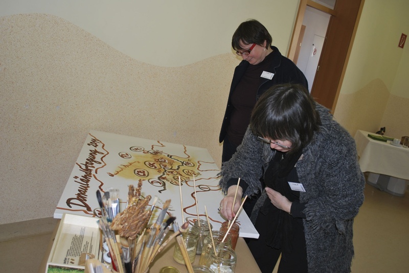
SOIL AWARENESS and INTERACTION BETWEEN SOIL AND WATER: The cooperation provided for from 2011 to 2013 shall be engaged in increasing soil awareness of the people by target-relevant information, service / support for multiplicators, work in educational institutions, extracting soil colours from regional soils, launching a soil colour painting competition, and the documentation of municipal model projects. In the field of "interaction between soil and water", the connection between soils and flooding occurrences of the past 1.000 years, which can be read in the soils, shall be integrated into current soil map material. Existing map material and map material which is to be elaborated will be checked with a view to its suitability concerning the management of natural dangers and flooding prevention. For a practical implementation of these findings, the cooperation with voluntary organizations, such as, for instance, the fire brigade, will be sought. In model municipalities, the basics for future planning considerations shall be elaborated.

Presentation of Project "SONDAR-HU"
Within the framework of the 18th Expert Meeting of the workgroup of ecology and soil protection in St. Poelten, amongst others the project SONDAR HU-AT was presented.
This project is in the stage of submission, and on account of its planned output of project, it has an excellent chance to be accepted.
This project is part of a comprehensive strategy of the Soil Strategy Network in the Danube Region, and it comprises work within the framework of the following work packages:
Soil awareness and sustainability
Soil as a filter / contribution to protection of ground water and against erosion
The mobile soil lab
Soil protection using the example of “soil friendly and soil-saving settlement“
Networking with respect to a sustainable network of soil protection
Project partners: SENEC Soil and Bioenergy Network of European Countries (lead partner), North Transdanubian District Environment and Water Directorate, University of West Hungary (Faculty of Agricultural and Food Sciences), Municipality of Mosonmagyaróvár, University of Natural Resources and Life Sciences, Vienna (Institute of Soil Protection), Bio Research Austria, International Association for Danube Research (IAD), Office of Lower Austrian Government (Department of Rural Development as strategic controller).
SOIL AWARENESS and INTERACTION BETWEEN SOIL AND WATER: The cooperation provided for from 2011 to 2013 shall be engaged in increasing soil awareness of the people by target-relevant information, service / support for multiplicators, work in educational institutions, extracting soil colours from regional soils, launching a soil colour painting competition, and the documentation of municipal model projects. In the field of "interaction between soil and water", the connection between soils and flooding occurrences of the past 1.000 years, which can be read in the soils, shall be integrated into current soil map material. Existing map material and map material which is to be elaborated will be checked with a view to its suitability concerning the management of natural dangers and flooding prevention. For a practical implementation of these findings, the cooperation with voluntary organizations, such as, for instance, the fire brigade, will be sought. In model municipalities, the basics for future planning considerations shall be elaborated.
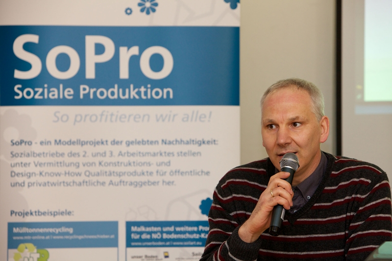
Soil Protection and Sustainability!
In Lower Austria, activities of soil protection are coordinated by the Department of Rural Development. In the meantime, there are 70 members of the European Land and Soil Alliance in Lower Austria: municipalities, a model region of the Soil Allaince, and further associated partner organizations. These are about half the members of the European Land and Soil Alliance! They work on a partner level, and they use synergies of the network through exchange of information and experiences.
On the second day of the Meeting, the focus shall be on sustainability. An "International Practice Day of Soil Protection and Sustainability" with workshops and reports on experiences shall conclude the program.
 |  |  |  |
 |  |  |  |
 |  |  |  |
 |  |  |  |
 |  |  |
 |  |  |  |
 |  |  |  |
 |  |  |  |
 |  |  |  |
 |  |  |  |
 |  |  |
 |  |  |  |
 |  |  |  |
 |  |  |  |
 |  |  |  |
 |  |  |  |
 |  |  |  |
 |  |  |  |
 |  |  |  |
 |  |  |
 |  |  |  |
 |
26.09.2024
555 x Paradies-Genüsse - Obstvielfalt entdecken und schmecken
more ...24.+25.09.2024
31th Conferece of the Danube Region
more ...21.09.2024
Fest der Obstvielfalt im Alchemistenpark
more ...13.-15.09.2024
Mein Beeren- und Obstparadies
more ...11.-13.09.2024
Tropentag 2024
more ...06.-09.2024
ernte.dank.festival. am Wiener Heldenplatz
more ...15.+16.05.2024
Bodenforum Österreich - Frühjahrstreffen 2024
more ...20.-21.04.2024
Joel Salatin - Masterclass-Seminar Weidemanagement
more ...16.04.2024
Exkursion Mehrnutzungshecken
more ...12.04.2024
Dialog Zukunft Pflanzenbau: Runder Tisch - EU Richtlinie zur Bodenüberwachung und -resilienz
more ...12.04.2024
Online-Workshop Boden und Klima - Ganzheitliches Wassermanagement in Stadt und Land
more ...03.04., 04.04., 23.04.2024
Flexibles Begrünungsmanagement im Wein- und Obstbau
more ...27.-29.03.2024
Mein Beeren- und Obstparadies
more ...20.03., 21.03., 03.04., 04.04., 23.04.2024
Flexibles Begrünungsmanagement im Wein- und Obstbau
more ...20.03.2024
Obstbaumschnittkurs für langlebige und gesunde Bäume "Stummelschnitt ade"
more ...12.-14.03.2024
Vortrag: "Die Essbare Stadt, Geeignete Obstbaumarten für den Urbanen Raum"
more ...13.03.2024
Carbon Farming, wofür und für wen? - Hybridveranstaltung
more ...12.03.2024
Zertifikatslehrgang Bodenpraktiker Ackerbau 2024
more ...09.03.2024
Stummelschnitt ade - Obstbaumschnittkurs für langlebige und gesunde Obstbäume
more ...05.03.2024
Exkursion Mehrnutzungshecken
more ...